Your savings are on the table. We read the public record on the parcel and its surroundings — what affects its value, your health and your quality of living — so you walk in with facts, not hope.
Free during the beta · 24–48 hours · English and Spanish, word for word the same
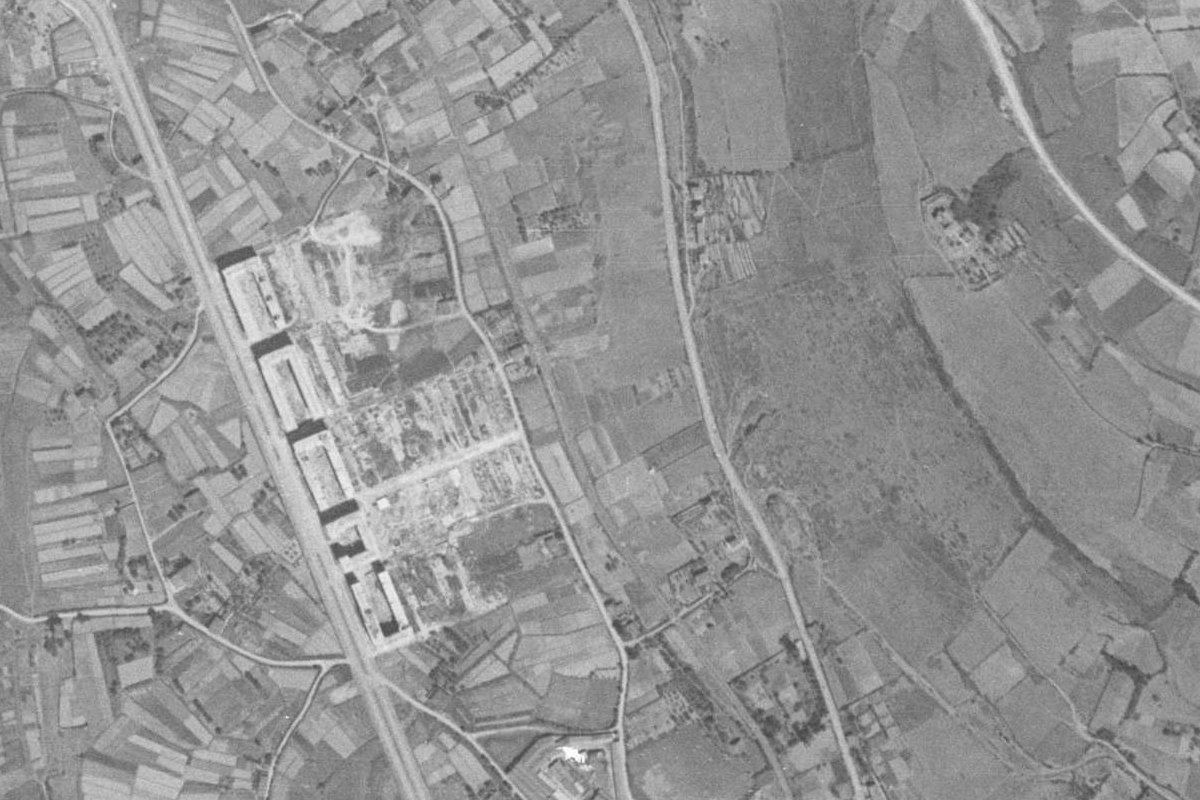
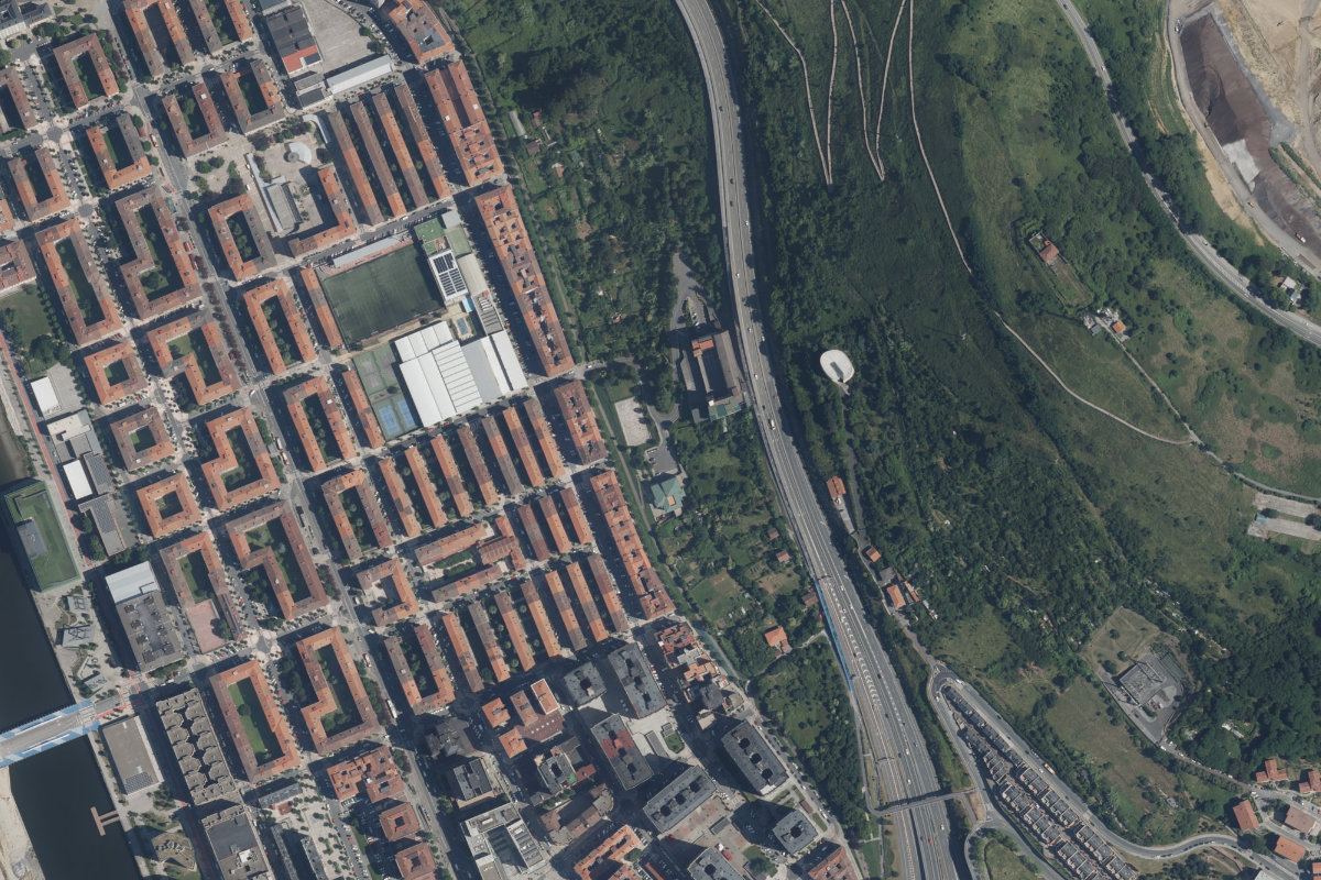
19452025
Aerial photographs: GeoEuskadi, 1945 and 2025 (CC BY 4.0)
Paid only by you. No fees from sellers, agents or portals.
Every finding with its source and date. Official registers, named in the sentence.
We never say “clean”. We say what the record shows — and what we did not look at.
Three things you’ll walk in knowing
Everyone at the table is paid by the sale. In Spain, nobody in a purchase orders a flood, soil or planning search as standard. Unless you do. Then the conversation changes.
What it’s worth — and what could take it away
Flood line, planning, land reserved for public use, a soil site on the deed, the building’s inspection and energy records, the rules that apply to this parcel.
So you can negotiate, insure, finance — or walk.
What’s around it that no viewing shows
Inventoried soils and industry, air-quality readings, radon zone, masts with their published measurements, power lines with their distance and voltage, the water.
As recorded — so you ask the right specialist the right question.
What living there will be like
How loud at night, whether the taps ran last summer, what the ground was in 1945 and what is planned around it next.
So the first surprise isn’t after the move.
Overlays illustrative. In your report every shape comes from the official register, on your parcel.
Each answer comes as one of four words — never colour alone, never “clean”.
Not consultedNo findingsAttentionFinding
Attention — Flood zone T100 starts 40 m from the parcel (URA map, 2025). Means: insurers and lenders may price it. Ask: the seller about past claims; your insurer for a quote.
01
Point us to the property
Click the parcel on the map, or send the address or the cadastral reference.
02
We read the record
Cadastre, planning, flood and soil maps, aerial photos since 1945, noise, air, water — each with its date.
03
Your report, in 24–48 h
Ten pages, English and Spanish, with the documents to request before signing. Hand it to your lawyer. Sample report (PDF, with findings)
Not legal advice. For title and charges, your lawyer or notary.
Not a building survey. For the building, a surveyor or architect.
Not a health assessment. We report what is recorded, never what it does to you.
Frequently asked questions
What is a property verification report?
A PDF that reproduces, at a stated date, what the public registers say about a parcel: cadastre, planning, flood zones, contaminated soils, noise, masts, water and aerial photographs since 1945. Every finding cites its source and date.
Is it a valuation or legal advice?
No. It is not a valuation, a legal opinion, a building survey or a health assessment. It is public-record information so you ask your lawyer, valuer or architect the right questions.
Which areas does PropVer cover?
The Basque Country (Bizkaia, Gipuzkoa, Álava) with all 17 registers; Catalonia, the Valencia region, Andalusia and Cantabria with the 12 national ones plus planning; the rest of Spain on request within 2–5 days with the 12 national registers. Navarre, with its own cadastre, not yet.
How much does it cost and how long does it take?
Free during the beta. The report arrives by email within 24–48 hours, in Spanish and English.
What do I need to request one?
The address, the cadastral reference, coordinates or a click on the map. For flats, the floor and door.
Where we cover
Basque Country — Bizkaia, Gipuzkoa, Álava
The full report: 17 registers
Catalonia, Valencia region, Andalusia, Cantabria
13 registers: the 12 national ones plus planning (and soils or inspections where published)
Rest of Spain (state cadastre)
On request, 2–5 days: the 12 national registers; the rest marked “not consulted”